North Providence Superfund Site Years in the Making
December 1, 2011
Share
NORTH PROVIDENCE, R.I. — Rhode Island is home to 13 official Environmental Protection Agency (EPA) Superfund sites that rank on the National Priorities List. One of those sites is a 9-acre area of contaminated fill on parts of the Centredale Manor and Brook Village apartment properties. The EPA has proposed a large-scale cleanup to remove contaminants in the soil and pond sediment surrounding the site.
At the end of Rhode Island’s booming textile industry, from 1921 to 1940, the Centredale Manor site was occupied by the Centredale Worsted Mill and then the Olneyville Wool Combing Co. Site usage from 1940-43 is unknown, but between 1943 and 1971 the site was used by two companies — the Atlantic Chemical Co./Metro-Atlantic Inc. for chemical manufacturing and the New England Container Co. Inc. for drum recycling.
The first signs of trouble at the site were aerial photographs, taken during the 1960s and ’70s, that show areas of uncovered, outdoor drum storage, along with some disturbed areas. Further investigation of the disturbed areas found that the fill contained glass, concrete, paint and other waste materials.
Fire insurance rate maps compiled in 1956 and ’65 depict areas of drum cleaning and storage on the southern portion of the site. In the early ’70s, all the buildings on the site were demolished, but the whereabouts of the demolition debris is unknown. The Brook Village and Centredale Manor apartments were built on the site between 1976 and ’79 and 1982, respectively.
Trash turns toxic
Construction of the Brook Village complex was halted in 1977, when the state Department of Health (DOH) Division of Air Pollution Control responded to complaints of noxious fumes at the property, and found more than 50 abandoned drums. In the early 1980s, more drums were found at the site by the state Department of Environmental Management (DEM) Division of Air and Hazardous Waste Management. One of the drums contained polychlorinated biphenyls (PCBs); other drums appeared to have contained an acid or caustic material — based on the presence of polyliners — solvents and ink wastes.
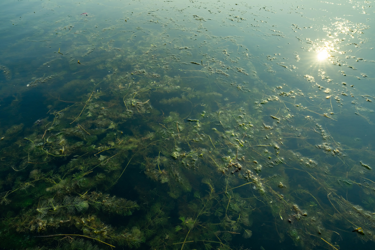
Dioxin 2,3,7,8-tetrachlorodibenzo-p-dioxin (TCDD) contamination from fish collected from the Woonasquatucket River was first documented in 1996. To date, elevated levels of contaminants, including dioxin/furans, PCBs, volatile organic compounds (VOCs), semi-VOCs and heavy metals, have been detected in the soil, sediment, wetlands groundwater and surface water at the site.
Stormwater runoff is a major problem, given the site’s proximity to the Woonasquatucket River, and the tailrace to the east. The channel formerly extended north of Route 44, originally diverting water for use at the Centredale Worsted Mill. It’s now defunct, and receives stormwater runoff via a headwall to the north, overland flow from the eastern half of the site and a stormwater drainage pipe from Centredale Manor. Low-lying areas within the site flood and the site includes portions of the Woonasquatucket River 10-year floodplain. Surface water runoff from the site enters the Woonasquatucket River and drainage channel directly at numerous points.
The contaminated fill area at the site — estimated at 219,869 square feet — is on a peninsula that extends about 135 feet further south of the site’s southernmost parking area. The source of the hazardous substances present in the fill can’t be determined, but is likely due to unregulated use, storage and disposal of hazardous substances on the property for nearly 60 years, according to state and federal officials.
Following soil sampling in 1999, which showed TCDD levels at an extremely high 115.82 parts per billion (ppb), the site was proposed to the National Priorities List (NPL) and accepted in February 2000. For reference sake, the EPA maximum contaminant level for dioxin in drinking water is 0.00003 ppb. Dioxin is one of the most toxic contaminants.
Partial remediation completed
In January 1999, prior to the site being proposed to the NPL, the EPA conducted “urgent removal activities” at the property, including: sampling; clearing; the erection of fencing; a flood evaluation study of the site and surrounding area; designing and implementing interim soil caps for specific areas; and community outreach.
The design and construction of a third soil cap as part of reconstruction of a former tailrace began in 2003 and was largely completed within the next year. Additional work on caps was completed in 2006. In 2009-10, excavation of contaminated soil and installation of a cap over the impacted area to address contaminated groundwater discharge into the Woonasquatucket began. Maintenance of all the capped areas continues.
Reconstruction of the Allendale Dam and restoration of Allendale Pond was completed in February 2002. Following additional soil sampling in 2002, contaminated soil from residential and recreational-use properties at the site was removed. Final dam and pond restoration actions were completed in fall 2003.
From 1970 to 1986, DEM conducted or supervised several investigations at the property. In February 1982, according to DEM records, about 400 drums were excavated from the site. Of these, about 30 had unknown chemical residue, and of these at least eight were found to have hazardous material. Later that year, DEM required that prior to the construction of Centredale Manor, soil samples be collected in the area of the building footprint. As a result of this sampling and analysis, about 6,000 cubic yards of soil were excavated and disposed of as non-hazardous solid waste.
What’s next?
As mentioned, the EPA has proposed a large-scale cleanup in hopes of removing the remaining contaminants from the site and restore the Woonasquatucket River south of the propety.
The proposed plan includes:
Removal of buried waste and a majority of river sediment and floodplain soil near and downstream of the site.
Installing new caps over contaminated soil and thin layers of soil to the wetlands and floodplains to accelerate the natural decontamination processes.
Permanent restrictions on the use of groundwater and temporary prohibition of eating fish from the river.
Long-term monitoring of the river and floodplain to determine possible future actions.
Bringing the area’s drinking water into EPA compliance.
Minimizing contribution of site contaminants to the Woonasquatucket River’s surface water.
EPA’s proposed cleanup plan would be implemented through additional investigations, design, construction, maintenance and five-year reviews. The estimated cost of EPA’s preferred cleanup method is about $100 million. The proposed cleanup plan can be viewed here (pdf).
Categories
Join the Discussion
View CommentsRelated Stories
Your support keeps our reporters on the environmental beat.
Reader support is at the core of our nonprofit news model. Together, we can keep the environment in the headlines.
We use cookies to improve your experience and deliver personalized content. View Cookie Settings