Friends Rediscover Long-Hidden Pawtucket Brook
March 5, 2020
Share
PAWTUCKET, R.I. — The city’s former drinking-water supply was buried decades ago and mostly forgotten, but Ben Cote and Don Doucette rediscovered Bucklin Brook in late January. They’re now working to promote this long-lost waterway and its watershed.
Last month the duo expanded their organization’s name to Friends of the Ten Mile & Bucklin Brook and updated their mission: cleaning and preserving the Ten Mile River and Bucklin Brook watersheds.
“Bucklin Brook was important to the city for hundreds of years, and in a few decades it was gone,” said Cote, the nonprofit’s chairman. “We thought the Blackstone River was the next watershed, but the Bucklin Brook watershed is buried and long forgotten. It’s a companion watershed of the Ten Mile River watershed.”
The longtime friends had been talking about Bucklin Brook and its watershed, which they claim is wedged between the Ten Mile River and lower Blackstone River watersheds, for some time but finally moved their conversations forward this winter.
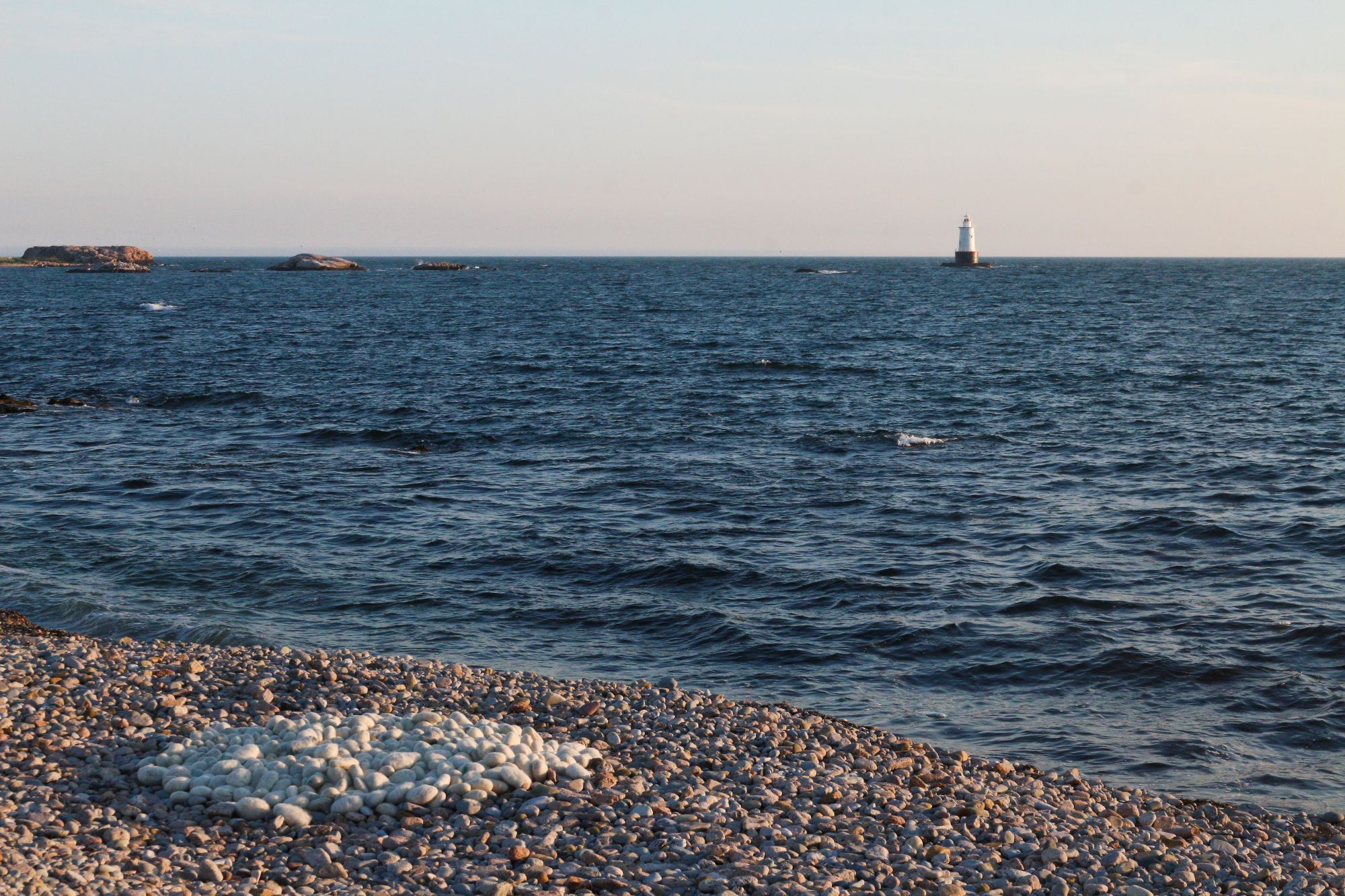
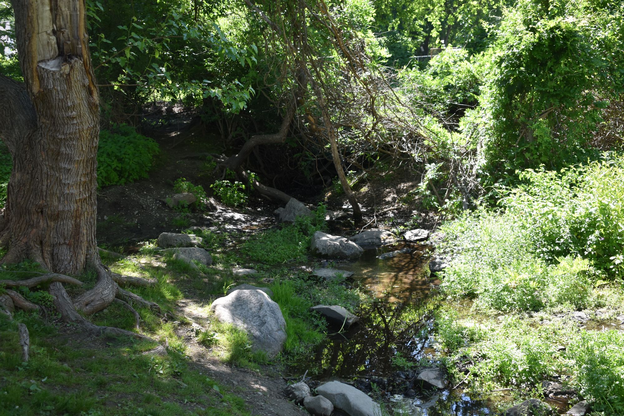
Cote, a 38-year-old Pawtucket resident, hiked behind warehouses and old mills and through overgrown vegetation to follow sections of what was once the above-ground path of Bucklin Brook. He eventually came across some 200 feet of above-ground brook between Beverage Hill Avenue and School Street, where the last 50 feet or so of the brook disappears underground and outfalls into the Seekonk River across the street.
While Bucklin Brook continues to flow mostly underground, Doucette, 76, an Attleboro, Mass., resident, said he is dumbfounded that nearly all of the brook’s watershed has been buried and routed underground to accommodate “progress.”
Bucklin Brook was once the source of drinking water for the city, from a reservoir that was where McCoy Stadium now stands. The upper portion of the brook up to the stadium, along with Hammond Pond and surrounding wetlands, were buried in circa 1940 to make room for the minor-league baseball stadium and other development. The lower portion from the stadium to the Seekonk River was buried in the 1960s because of an outbreak of polio. The brook, which was a popular recreation destination, was mistakenly believed to be spreading the terrible disease.
Cote and Doucette believe — they admit they don’t yet have the evidence — that Bucklin Brook’s headwaters begin at a swamp in Massachusetts. They think the hidden brook enters Pawtucket from Sweden Swamp in South Attleboro and runs under the rail line beneath Case Mobile Home Estates, through the Cottage Street community, and on to the Industrial Highway corridor. They speculate Bucklin Brook is closer to 4 miles long than the recorded 3.
The two have reached out to the Rhode Island Rivers Council, the Narragansett Bay Commission, and the city of Pawtucket in hopes of building community support for Bucklin Brook. They’d like some help determining the size of the brook’s watershed.
“It still functions as a watershed, even if we can’t see it anymore,” Cote said. “It would be nice to give it some standing.”
The Sweden Swamp aquifer, according to Doucette, drains into Seven Mile River, one of the Ten Mile River’s two major tributaries — the other being the Bungay River. Doucette and Cote are trying to prove the swamp also drains into Bucklin Brook and that the Ten Mile River and Bucklin Brook watersheds are connected.
Cote is working with Timothy McDuff, technical services librarian at the Pawtucket Public Library, researching the history of Bucklin Brook. Doucette mailed a package of information to The Joseph Bucklin Society about what he and Cote have uncovered. Bucklin Brook formed much of the east boundary of the Bucklin family’s once-vast land holdings. Cindy Bucklin sent an email response, noting that the society would help their efforts any way it could.
Their ultimate goal is the revitalization of Bucklin Brook.
“We want to generate interest in this water body and create some ecological enlightenment,” Doucette said.
Cote said he doesn’t expect big sections of the brook to be opened up again, but noted that it would be nice to see a little more of it and enhance what is already showing. He said the brook would likely still be a herring run if it hadn’t been buried.
Friends of the Ten Mile was unofficially created in the 1990s to protect and boost awareness of the 22-mile river and its watershed. Doucette, the organization’s vice chairman, was a founding member. It officially became a nonprofit in May 2018.
The Ten Mile River watershed mostly lies in southeastern Massachusetts, with a small section in northeastern Rhode Island. It’s the smallest of the 27 major watersheds in Massachusetts, with a total drainage area of about 54 square miles. Land use in the Massachusetts portion of the watershed is predominantly residential and forestland, with moderate amounts of commercial and industrial uses, mostly in Attleboro.
Within the Rhode Island portion, land use is primarily high-density residential and commercial and industrial.
Wonderful story. Are there maps from the 19th century or earlier that might give clues to the stream’s source? Let the public know how we can help. It’s great to hear good news once and a while. Thanks.
This is a great story about regular people investigating their environment using curiosity and the available resources and really discovering something. Good luck to Bucklin Brook!
Great Job on this.
About a quarter mile south of Mc Coy stadium was a cement above ground reservoir that had to be 10-15 feet deep with 3 layerd of dirt berms surrounding it. When I was 10 the city came in with a big bulldozer and excavated the 3 foot wide cast iron pipes that carried the water and they stopped when they reached Columbus ave. I could never figure out how they filled the reservoir and it just looked like a giant holding tank. Today this area is where the trailer park across from the stadium abutting Columbus ave.
Will the demolition of McCoy Stadium and Pawtucket High School project affect the Bucklin Brook revitalization?