Tour of Urban Resilience Reveals Mitigation Steps Taken
October 25, 2019
Share
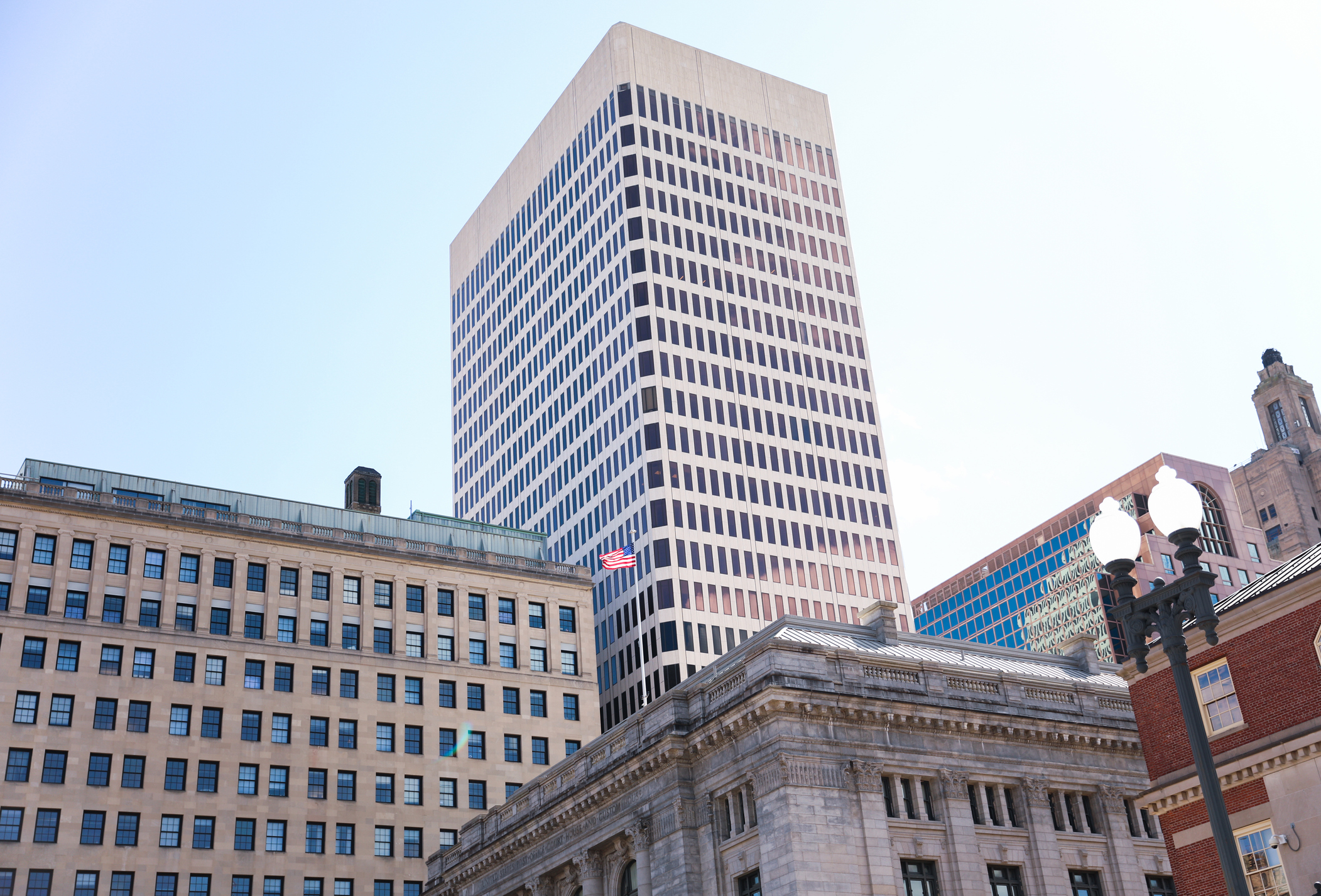
PROVIDENCE — A group of curious residents gathered on Bridge Street, under Interstate 95 and next to the city’s looming hurricane barrier. They were corralled by Janet Freedman of the Coastal Resources Management Council, Pam Rubinoff from Rhode Island Sea Grant, and a few other speakers who took the group on a tour of coastal resilience in the urban landscape. They pointed out what is and isn’t being done.
The first stop was the hurricane barrier, built between 1960 and 1966 to the tune of $16 million. Clara Decerbo, deputy director of the Providence Emergency Management Agency, gave a brief overview on the barrier’s history and how it operates today.
“Essentially, anything that moves that has to do with the hurricane barrier is controlled by the Army Corp of Engineers and they collaborate with the city of Providence on the other parts,” she said. “The most dramatic parts of the barrier are probably the gates, which weigh about 53 tons each.”
These massive gates, which take 30-40 minutes to close and even longer to reopen, keep storm surge out, while pumps running underneath the barrier remove any accumulated water inside the system, making sure the Providence River doesn’t fill up and spill its banks.
“Once the barrier is closed, the pumps have to be activated to pump water over to bay side,” Decerbo said. “There are five pumps — they just finished refurbishing the fifth pump a couple months ago — and it’s now the first time in many, many years that all five pumps are fully operational.”
Each pump can move up to 630,000 gallons of water per minute, keeping the water level should the barrier be closed and rain filling the Providence side.
Decerbo noted, however, that the hurricane barrier’s pump system isn’t entirely foolproof from disaster.
“The pumps are powered by the grid system, they don’t have their own independent power supply simply because they require way too much power,” she said. “They also don’t have a backup generator simply because there isn’t one powerful enough.”
Some local scientists fear that if a storm causes a power outage this would prevent the pumps from working, which could lead to the Providence River rapidly filling, spilling its banks, and flooding the city.
The group meanders onward, with the next stop being the new pedestrian bridge. The bridge, which was completed this past summer, was originally slated to be built much closer to the river surface.
“The first plans that came in from DOT, they had it very close to water level,” said Freedman, a geologist with the Coastal Resources Management Council. “We recommended that they elevate it … because this is not only for pedestrians to use, but you also want to have access for small boats going under the bridge, and with sea-level rise they won’t be able to get under.”
The Rhode Island Department of Transportation raised the bridge 18 inches, which, according to Freedman, should allow the bridge to stay above water level for another 30-40 years, depending on the rate of sea-level rise.
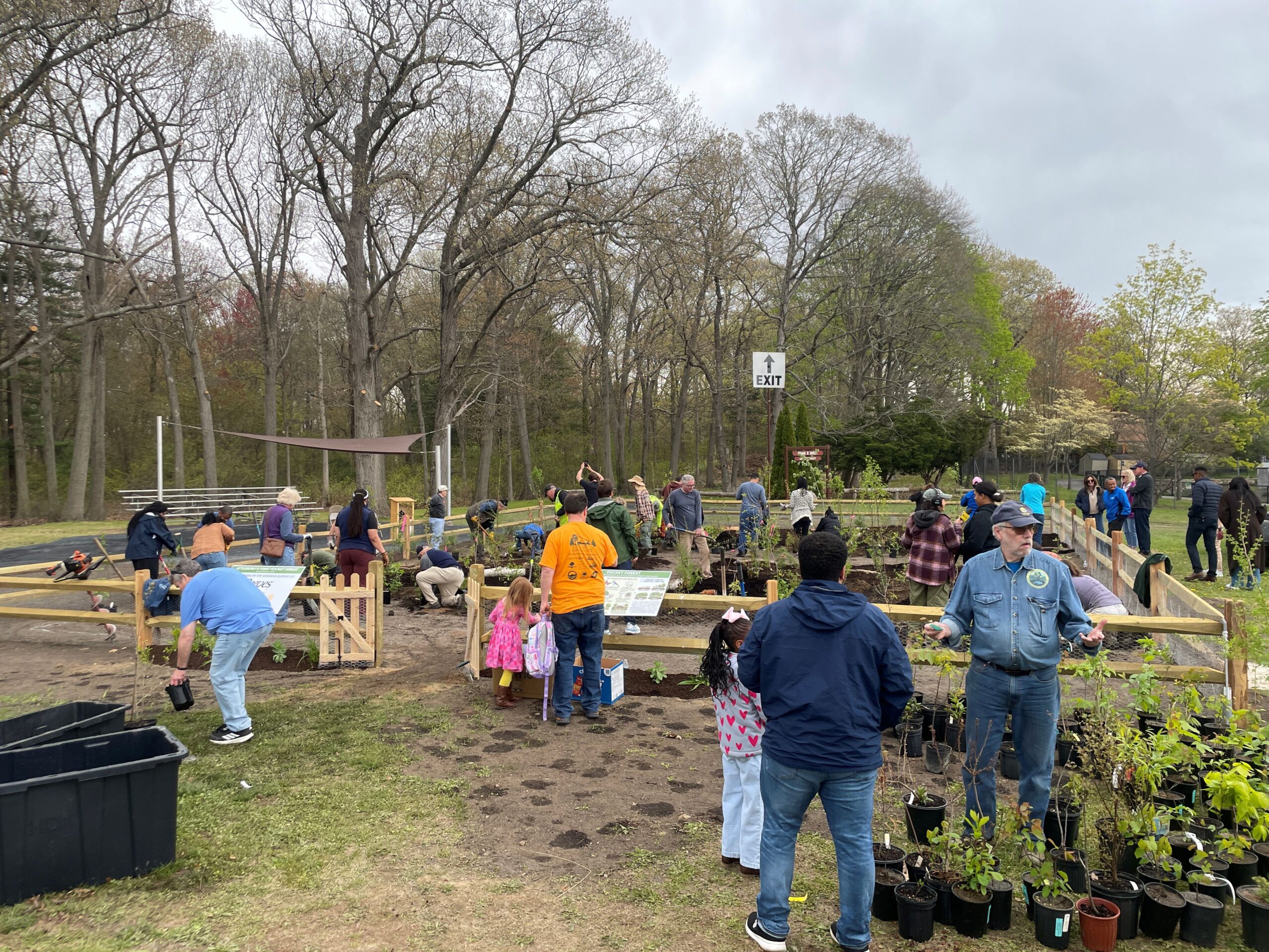
While the bridge adds another element of human control and interaction with the river, it also has led to the opportunity for new green spaces in the surrounding area.
Rain gardens dot the western plaza at the end of the bridge, their sloping sides filled with plants that will filter stormwater runoff.
“We’re fortunate in this area to see more and more green infrastructure, so that we’re using our landscaping to treat our stormwater,” Rubinoff said. “We’re using nature to filter out some of our contaminates.”
Then, there’s the gardens, known as the Living Edge.
According to the West Fountain Street design firm Downcity Design, this edge “will create a tranquil gathering space while re-introducing some of the lost wilderness of this site’s pre-industrial past and restoring native tree species and meadow to the water’s edge. We believe this place will invite reflection on the impacts of climate change, while sharing a vision of past and future that is restorative and hopeful.”
Various trees, including a stunning weeping willow, rustle in the breeze, and happy starlings swarm drooping sunflower heads.
“It’s a hardened shoreline, but we’re trying to incorporate other elements to make it a hybrid, to make it greener, and to create a good habitat,” Freedman said.
Categories
Join the Discussion
View CommentsRecent Comments
Leave a Reply

Your support keeps our reporters on the environmental beat.
Reader support is at the core of our nonprofit news model. Together, we can keep the environment in the headlines.
Adam Anderson, Principal for the Landscape Architecture studio Design Under Sky, was the designer for Living Edge. He was the selected winner of a competition created by Down City Designs CityWorks Cohort.