Marshes and Homes Compete for Shoreline Survival
New maps highlight debate to protect Rhode Island's coast
December 22, 2014
PROVIDENCE — A recent meeting of the Rhode Island climate change council highlighted the dilemma taking place over protecting the shoreline from the impacts of climate change. The areas that need protection are both natural habitats and man-made structures such as roads, homes and business. In some ways, the two are competing for survival.
At the center of this ongoing debate are the state’s marshes. Salt marshes are coastal wetlands that are flooded and drained by salt water brought in by the tides. Situated at the transition between land and sea, they are some of the most productive ecosystems on the planet. And not only are they vital ecosystems, but they also buffer the coast from storms. Sea-level rise, however, is drowning them. A recent mapping project led by the state’s Coastal Resources Management Council (CRMC) predicts half of the Ocean State’s marshes will be lost if the sea rises by 3 feet, a level that is expected to be reached by 2100.
The Sea Level Affecting Marshes Model, or SLAMM maps, “paints kind of a dire picture about the future of our existing marshes and I’m afraid that it’s actually fairly conservative,” said Caitlin Chaffee, a CRMC policy analyst, during a Dec. 17 meeting of the Executive Climate Change Coordinating Council (EC4).
One way to protect marshes from sea-level rise is to give them room to migrate inland. Yet, in many coastal communities, roads, homes and hard structures such as seawalls block the way, and removing those barriers, especially privately owned ones, can be difficult. For marshes blocked by development, the CRMC is working with state and federal agencies on two projects designed to increase the height of marshes. This process, called thin-layer deposition (TLD), works by spraying dredged sediment on the surface of threatened marshes with the intent of extending their life by 30 to 40 years.
“When you start talking about filling marshes, it’s a little counterintuitive, but these are some of the extreme things we are talking about in the face of sea-level rise,” Chaffee said.
TLD projects are planned in the next two years at the John H. Chafee National Wildlife Refuge along the Narrow River in Narragansett and at state-owned marshes in the Ninigret salt ponds in Charlestown.
Meanwhile, homes, businesses and roads heavily damaged by storms are being rebuilt. In Westerly, nearly 30 waterfront properties damaged by Superstorm Sandy were rebuilt. Only five were built to better withstand storms. At the recent EC4 meeting, members of the public questioned the benefit of liberal rebuilding policies, especially when the cost to rebuild comes from public money.
Caroline Karp, of Brown University’s Center for Environmental Studies, suggested that the state adopt rigid limits for rebuilding storm-damaged property along the coast, which she called a “business-like way of saying your building won’t be rebuilt.”
So far, the EC4 hasn’t addressed rebuilding rules or the concept of returning developed property along the coast to open space, a process called “managed retreat.”
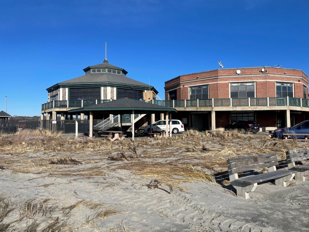
However, CRMC, along with groups such as Save The Bay, have completed 16 smaller shoreline protection projects, including replacing a crumbling boardwalk with a reinforced beach at City Beach in Warwick and several “end-of-road retrofits” that replaced washed-out roads with vegetation and rain gardens. All of these projects also preserved public access to the shoreline. CRMC has found many other sites in need of these type of protection projects.
The EC4 can’t require municipalities to adopt such preservation measures, even in densely built residential and commercial areas where natural shoreline is threatened or no longer exists. The EC4 only makes suggestions to the governor, the General Assembly and agencies with regulatory powers such as CRMC.
Rather than impose regulations, CRMC is collaborating with a handful of state environmental groups to bring attention to the risks of sea-level rise and offering ideas that communities can include in their comprehensive plans and zoning regulations, as well as voluntary efforts to reduce stormwater runoff and control erosion.
Plans for retreat, enhanced building codes, and marsh protection and restoration will be part of the Shoreline Change Special Area Management Plan (Beach SAMP). CRMC is leading the project, which will include new regulations and policy recommendations for the General Assembly. CRMC is expected to vote on whether to adopt the SLAMM maps Jan. 13.
James Boyd, a coastal policy analyst for CRMC, said the state has an estimated $5 billion of coastal property to protect and such policies and regulations will likely include a mix of reinforcing manmade shoreline barriers and creating more space for nature to adapt to higher sea levels and stronger and more frequent storms.
”It’s going to require managed retreat, while some places will need to fortify. Others will be a hybrid,” he said.
The EC4, which was established by Gov. Lincoln Chafee this year, meets next in January, when it will likely have new directives from Gov.-elect Gina Raimondo.
Regardless of its direction, the state is making strides with climate-change planning. CRMC director Grover Fugate said the SLAMM maps and Beach SAMP are 3-4 years ahead of climate-change efforts taking place in other New England states.
He also said the planning doesn’t mean the state is getting the better of climate change or saving marshes. “If we don’t start acting we’re going to start losing them right before our eyes,” Fugate said.


