Beach Project and Climate-Change Planning Collide
November 27, 2013
There is planning for climate change and then there’s reality. In Rhode Island, at least, the two are sometimes on different paths.
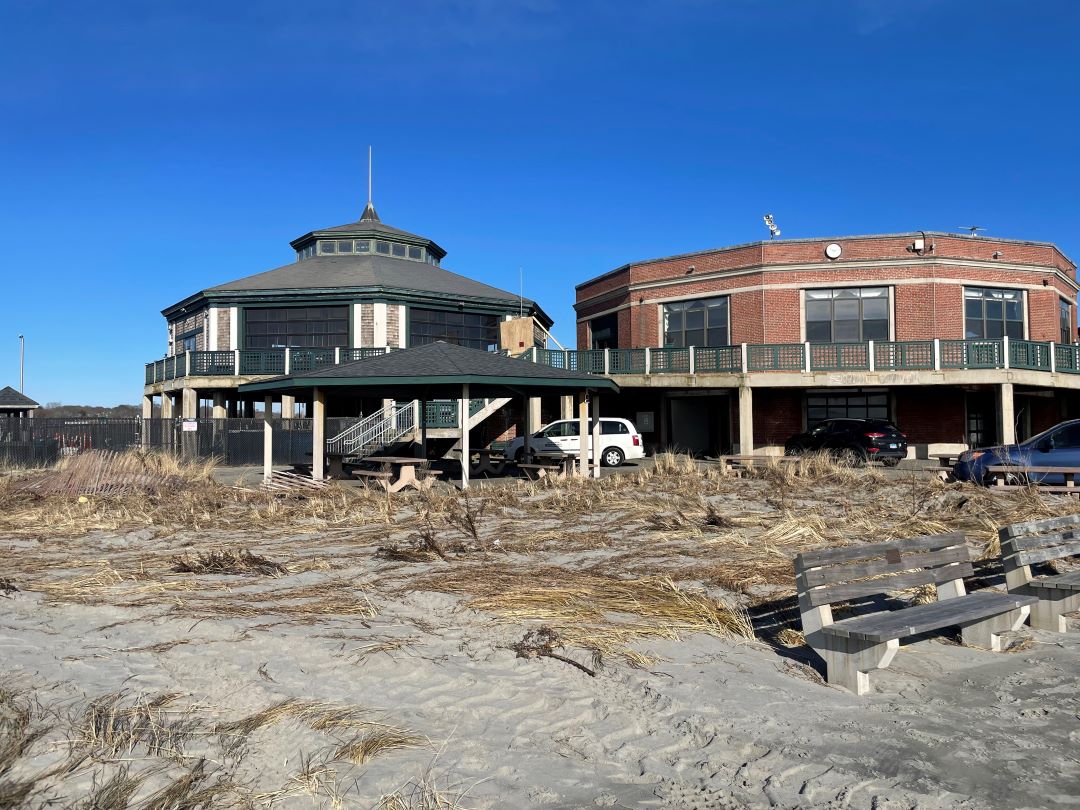
Some 3,000 truckloads of sand are on order for restoring Misquamicut State Beach from the lashing the Westerly coastline took during Superstorm Sandy, an act the state’s top coastal planner called “crazy.”
“It will probably disappear as quickly as they put it on,” said Grover Fugate, executive director of the state Coastal Resources Management Council (CRMC).
The CRMC has taken the lead on Rhode Island’s climate change adaptation and preparation efforts. At a Nov. 25 public forum at the University of Rhode Island, Fugate said the Army Corps of Engineers went ahead with the project as part of a federally funded rebuilding program established to make repairs after Sandy.
The CRMC will make sure the project complies with the state’s coastal rules, but it did tell the Army Corps of Engineers that it preferred sand from nearby Winnapaug Pond be used instead of 90,000 cubic yards of trucked-in sand. Winnapaug Pond is due for dredging and the new sand will likely amass there once it washes from the beach, Fugate said.
“Clearly, the CRMC is correct that it’s a short-term fix — and an expensive one at that,” said Melville Coté, manager of the Ocean and Coastal Protection Unit for the Environmental Protection Agency’s New England Region.
The Army Corps of Engineers isn’t revealing the cost, but Coté noted that addressing beach erosion in densely built areas is a significant long-term problem. CRMC is addressing the beach issue through its Shoreline Special Area Management Plan (Beach SAMP). The multi-year study seeks to create policy solutions to address the impacts of climate change, such as sea-level rise and erosion.
Coté praised the project for being unlike any other in the country. Yet, the Beach SAMP, he said, faces a big challenge in trying to address crowded beach communities in places such as Westerly and Matunuck in South Kingstown.
The preferred option is relocating people and property, he said. “It’s best to get people out of harm’s way.” But that’s not always realistic and disputes arise relating to property rights, conservation, jurisdiction and money, he said.
The CRMC is trying to address these concerns through public workshops. At the Nov. 25 forum, Margaret Davidson of the National Oceanic and Atmospheric Administration (NOAA) said climate-change work will have to be done by planners at the state and local level, specifically municipal planners. Preparations should happen as soon as possible while there is still funding available from the federal government and other outside sources.
“If you don’t plan for it, those that plan for it will siphon up all the money,” Davidson said.
The other speaker, Jon Reiner, director of planning for North Kingstown, emphasized that the public must participate in workshops and town/city council meetings to be sure that long-term planning gets done.
North Kingstown has one of the most proactive land-use plans in the state, and is actively engaging in planning for sea-level rise in Wickford Village. Yet, Reiner noted that he must continually remind and inform the public, as well as the town Planning Board, about the benefits of addressing climate change. Misleading media reports and short-term memories about recent storms like Sandy and Irene slow the process, he said.
“We constantly have to talk to people and teach them,” Reiner said. “We have to show them the science and (to) pay a little now and save later.”
Westerly Town Council member Caswell Cooke Jr. said in a perfect world it would be best to let nature run its course and not have to seek beach renourishment, but there are jobs, private property and businesses to consider. He agreed that it would also be preferable to repair the beach with sand from Winnapaug Pond, but the dredging is at least a year away and the funds are being offered now to fix a long-overdue problem, as the beach hasn’t been rebuilt since it was first developed more than 50 years ago.
Fugate noted the inconsistencies in trying to taking steps to address climate-change impacts. The recent federal flood insurance maps don’t take into account sea-level rise and the expected higher storm surges, a problem that may make it harder to protect threatened historic areas such as Thames Street in Newport.
“We can either plan now or we can let nature plan for us,” he said.
All of the experts agreed that money for planning is dwindling. “While the awareness for the programs is growing, the funding is shrinking and that is a big problem,” Coté said.
Categories
Join the Discussion
View CommentsYour support keeps our reporters on the environmental beat.
Reader support is at the core of our nonprofit news model. Together, we can keep the environment in the headlines.
We use cookies to improve your experience and deliver personalized content. View Cookie Settings


