Smart Growth in Rhode Island: A Chance to Reimagine Our Communities
December 15, 2025
Share
“Smart Growth” is defined as “an approach to community design that connects housing, transportation, and land use to create healthy, prosperous, and resilient neighborhoods.” The approach combines strategies, incentives, and regulations to concentrate development in areas served by infrastructure and steer it away from valuable farms and forests. The idea was a hot topic around the turn of the century, but current events, technology, and new terminology have pulled our attention in different directions. In a hectic world with highly complex issues to address, it’s easy to lose sight of fundamental policy frameworks that make good sense. While smart growth won’t solve all today’s problems, the urgent challenges we face demand we double back on these core principles to help build a prosperous future.
Here in Rhode Island, Grow Smart Rhode Island has long championed the idea that development and economic growth can be both environmentally sustainable and socially beneficial. Since its origins in a 1997 conference on sprawl (the antithesis of smart growth), the organization has led on issues such as public transit and the state historic tax credit, building a diverse coalition to advance neighborhood revitalization and economic opportunity for all.
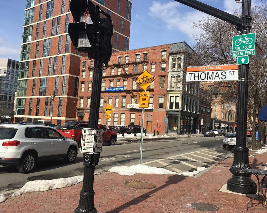
As recognized by Grow Smart RI’s annual awards, Rhode Island boasts many examples of smarter land use. These projects vary in size and location and include rural developments like the village of Pascoag in Burrillville, suburban revitalization on Warren’s Metacom Avenue, and the transformation of the Conant Thread District of Pawtucket/Central Falls. Regardless of setting or scale, the approach fosters communities where people can live, work, and move in ways that are healthy, environmentally responsible, and supportive of the local economy.
Why is smart growth especially advantageous now? Consider some of the most pressing challenges facing our communities:
Housing affordability: Rhode Island faces tight housing markets, limited land supply, and rising costs. Smart growth encourages a mix of housing types — duplexes, townhomes, and apartments — within walkable, transit-connected areas. Infill development in existing neighborhoods and the redevelopment of underused sites like old malls, parking lots, and brownfields help unlock housing capacity without expanding into undeveloped land.
Public health: Walkable, compact neighborhoods encourage active transportation as part of daily life. This provides well-documented physical health benefits and creates opportunities to connect with others, fostering a sense of community.
Municipal budgets: Smart growth is efficient, and well-designed communities cost less for cities and towns to serve and maintain. Serving more people with fewer roads and utility lines can reduce the “per capita” strain on local budgets.
Climate change: Directing growth into existing city, town, and village centers strengthens conditions for public transit, reducing carbon emissions from unnecessary single-vehicle travel. Emissions from new construction can also be reduced through adaptive reuse of existing buildings.
Economic revitalization: As we enter the service economy, isolated, sprawling commercial and industrial developments no longer contribute to community vibrancy. Revitalization efforts are better focused in historic and traditional Main Street districts where diverse economic activity shows strong resilience.
Grow Smart RI is taking a leadership role where these challenges intersect through its newly formalized Main Street RI initiative. Serving as the statewide coordinating program aligned with the national Main Street America network, Rhode Island is now connected with more than 40 states that have implemented the “Main Street Approach” since 1980. Main Street RI will build capacity for communities to organize and take action toward economically vibrant and socially connected neighborhood commercial districts. The track record of place-based, community-led economic development across the country is impressive, and the replicable model provides a clear framework that advances all aspects of place intentionally and simultaneously.
Over the next year, Main Street RI will offer open, free programming including monthly webinars, networking events, online resources, and a podcast. A statewide RI Main Street Together Conference will reconvene following a successful inaugural event this past October, and several early-interest communities will join an intensive learning cohort. In collaboration with Main Street America, neighboring states, and local partners, the initiative will bring in experts with decades of experience to share techniques, ideas, and resources and connect participants with a national support network.
Communities in Rhode Island have already shown strong interest in moving forward with the Main Street approach. Support from key state leaders is a start, but expanded and sustained investment is now needed for the long-term success of our Main Street districts as reliable sources of economic vitality. At the local level, the knowledge and networks of the business community, community-based organizations, housing advocates, and financial institutions will be essential. “Main Street” has a proven record of significant returns on investment. Let’s use this opportunity to return to a smarter path to prosperity. Let’s embrace smart growth principles again, making the most of the land and resources we already have to strengthen the communities that make us strong.
Nate Kelly has 20+ years experience in master planning, zoning, community engagement, and specialized plans. He is the president of the Horsley Witten Group. Jillian Finkle is the deputy director of Grow Smart Rhode Island.
Categories
Join the Discussion
View CommentsRecent Comments
Leave a Reply

Your support keeps our reporters on the environmental beat.
Reader support is at the core of our nonprofit news model. Together, we can keep the environment in the headlines.
good for Grow Smart! The NY Times had a report on a study that noted the “walkable compact” neighborhoods (which could be in cities or town centers) Grow Smart advocates for result in much less per-person carbon emissions thanks to reduced need for transportation, walls that reduce heating/cooling requirements, access to bike and transit travel, some neighborhoods emit only about 1/3 as much as some sprawl locations. But the decarbonization folks have paid little attention as its hard to get a handle on what to do about this
Mom & Pop Main Street growth is where Community Wealth happens and prosperity revitalizes our core. Total attention should be brought to bear here where stubborn societal issues will diminish and families flourish.